Built from the ferry map
Greek island hopping routes and the ferry legs each one depends on
93 workable connections between 36 islands. Greek island hopping routes are decided by which port sails where, not by which islands look good together on a map.
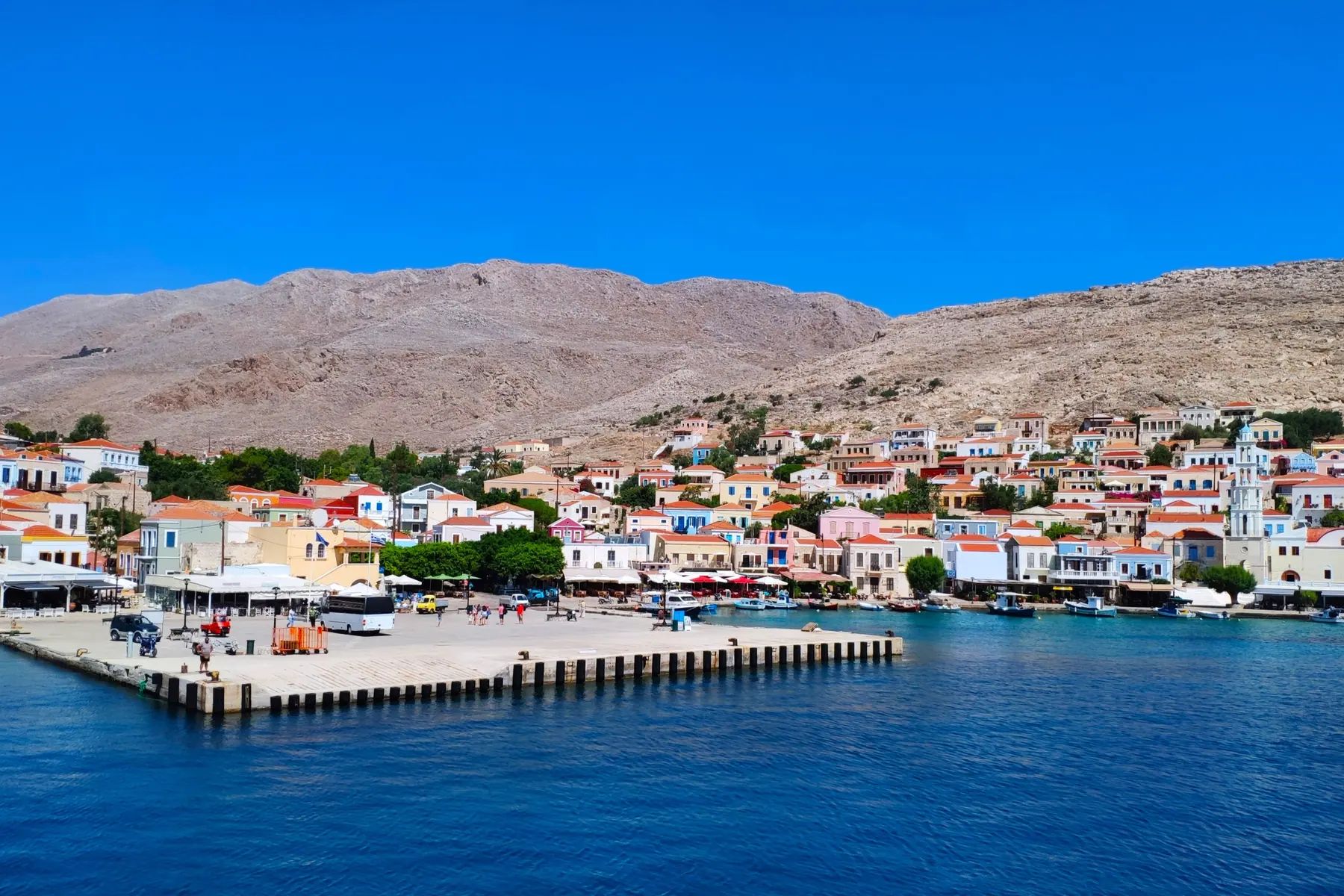
Greek island hopping routes are built backwards, from the ferry. Two islands a few kilometres apart can be a full day from each other if the crossing runs through a third port, and two that look distant can be fifty minutes apart because the same boat serves both. What follows is the connection map: for each island, the others it is routinely combined with.
Islands with the most connections make the safest anchors. Start from one and a lost sailing costs an afternoon rather than the rest of the trip.
How a Greek island hopping itinerary actually gets built
Start from the ferry map and the itinerary writes itself. Pick the group first, then the hub inside it, then the two or three islands that hub reaches without a detour. Doing it in the other order, choosing the islands and hoping the ferry agrees, is how a fortnight turns into a series of transfers. Island hopping greece rewards the people who look at the timetable before the photographs.
A fortnight holds three islands comfortably and four at a push. A week holds two. Those numbers assume each hop costs the better part of a day, which on these greek island hopping routes it reliably does. Island hopping greece well is mostly a matter of accepting that arithmetic rather than fighting it.
The natural hubs of the ferry network
These islands connect to four or more others, which makes them the places to begin, end or change direction. Every ferry route below is one the islands themselves publish.